Mimico
One of Toronto's oldest lakeside villages, and still one of its friendliest. The name comes from the Mississauga word for the passenger pigeons that once rested here by the thousand, and the lakefront was lined with grand estates a century ago. Today century homes and new towers share the same streets, with Mimico GO in the middle and Mimico Square filling up every time the weather turns.
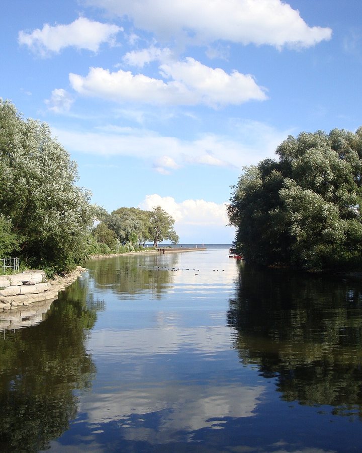
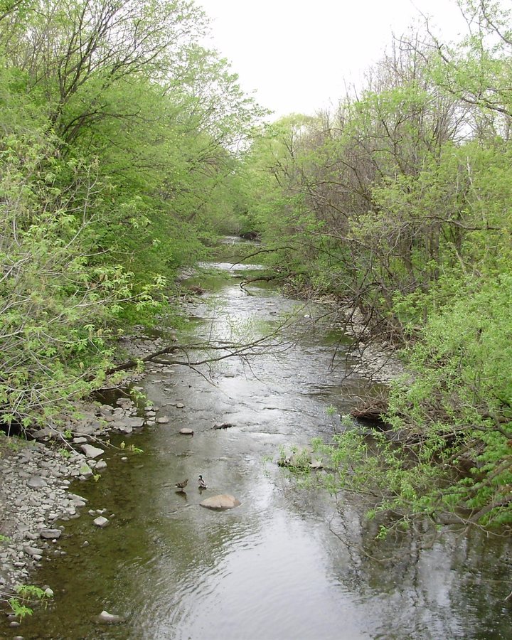
Mimico Creek, Amos Waites Park and its pool, the waterfront trail and a main street of family-run shops give it a village rhythm the rest of the city envies. Growth is coming to the station lands; the job is to make sure it arrives with the schools, transit and parks a neighbourhood this good deserves.
New Toronto
A former factory town that kept its main street. New Toronto was laid out as an industrial town in the 1890s, and for most of a century the plants along the rail line, Goodyear and Campbell Soup among them, set the pace of daily life. Lake Shore Boulevard West here is small frontages, long memories, and independent owners who know their customers by name.
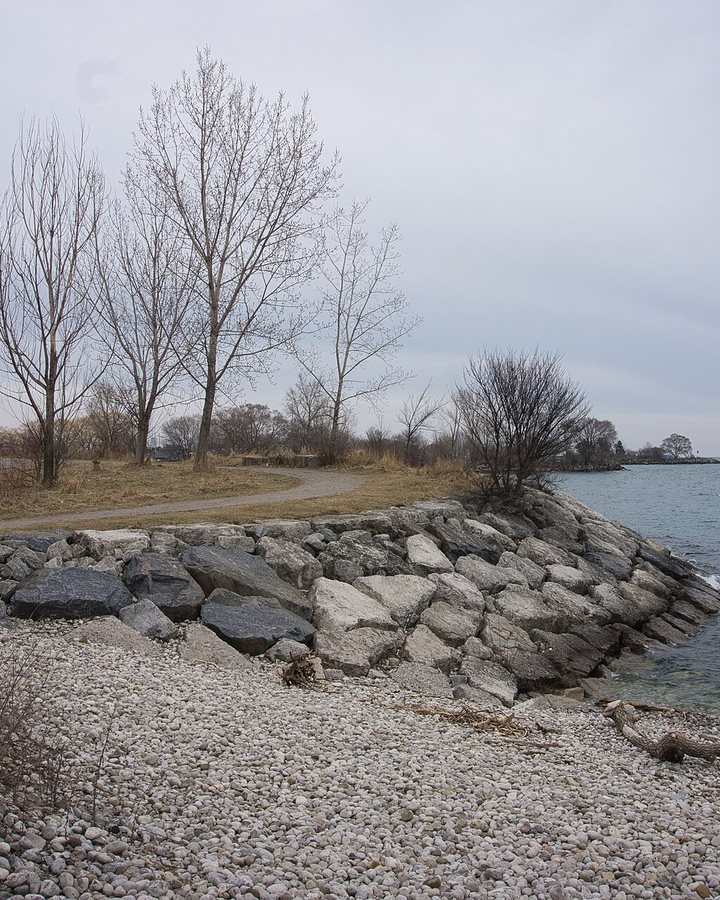
Colonel Samuel Smith Park, with its skating trail and the lake on three sides, is one of the finest waterfront parks in the city, and Humber College's Lakeshore campus brings thousands of students to the old grounds every day. As the factory sites turn into homes, this community wants the new streets to feel like the old ones: walkable, local and mixed.
Long Branch
Cottage-era streets and mature trees out where Etobicoke Creek meets the lake. Long Branch began in the 1880s as a summer resort, and the small lots, deep porches and lake breezes still tell that story. Marie Curtis Park at one end, the 501 turning around at Long Branch Loop at the other, and one of the strongest neighbourhood associations in the city in between.
Marie Curtis Park itself was born from loss: the cottages on the creek's floodplain were swept away by Hurricane Hazel in 1954, and the land became the park families use today. Long Branch has fought hard, and well, to keep its scale as lots are split and rebuilt, and that voice belongs at the table, not on the sidelines.
Alderwood
Post-war bungalows north of the QEW, deep backyards, and neighbours who have been on the same street for decades. Alderwood grew up in the years after the war as a place where a family could own a house with a garden, and much of it still looks and feels that way. It's quiet by design, and residents here know exactly what a heavy summer storm does to a basement, so stormwater stays on my list.
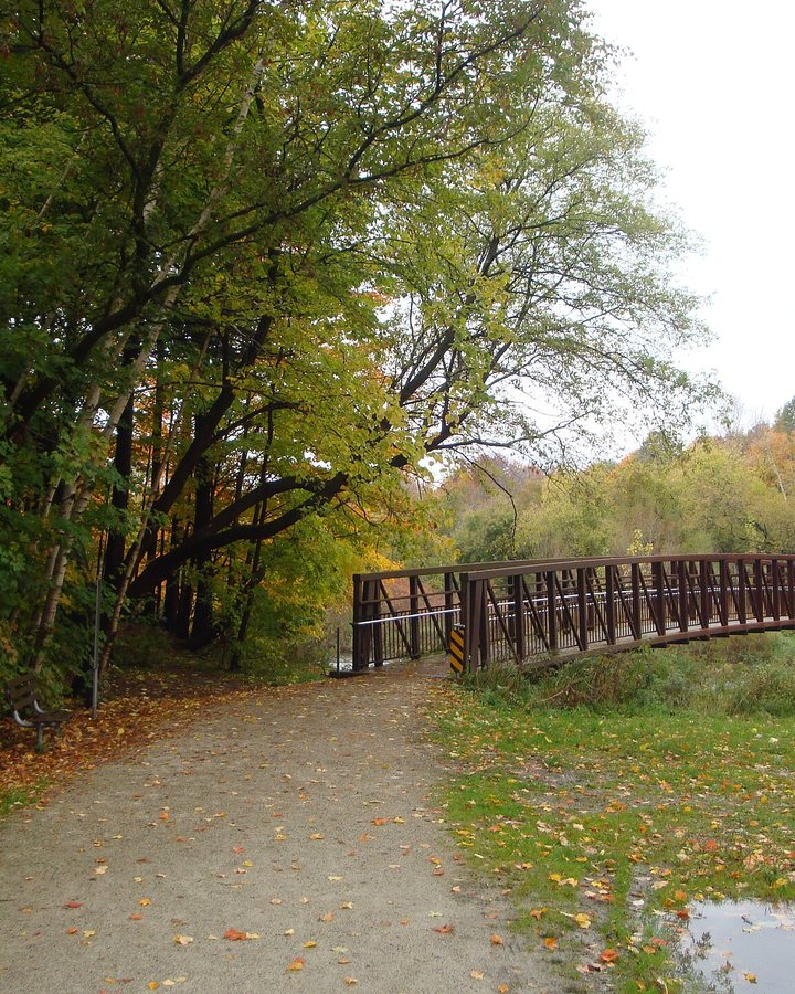
The Etobicoke Creek trail runs along its western edge, the Alderwood pool and community centre are the neighbourhood's living room, and the schools are the reason many families never leave. Keeping the creek healthy, the basements dry and the traffic calm on the side streets is what good local representation looks like here.
Humber Bay Shores
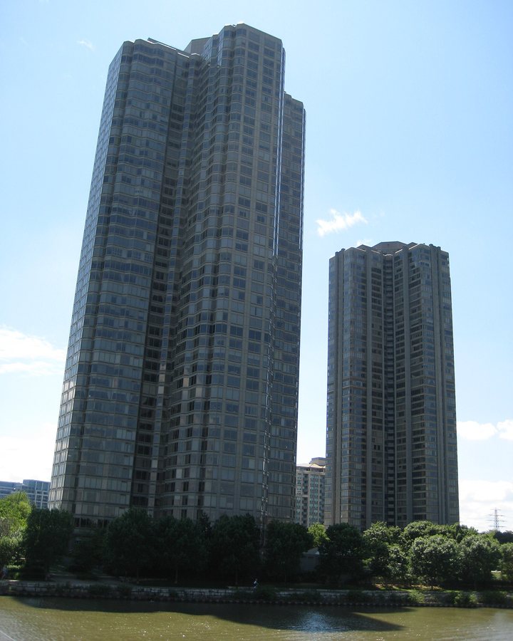
The densest community in the ward and, on a clear evening, the best skyline view in Toronto. The towers rose on the site of the old motel strip along Lake Shore, and in two decades a waterfront that people used to drive past became a place where tens of thousands live, walk and run.
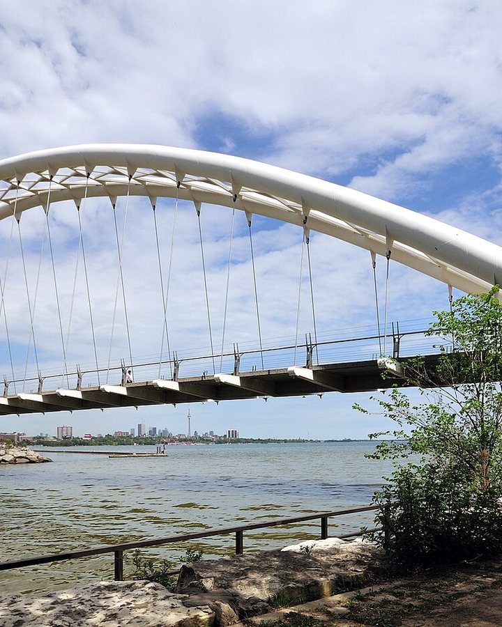
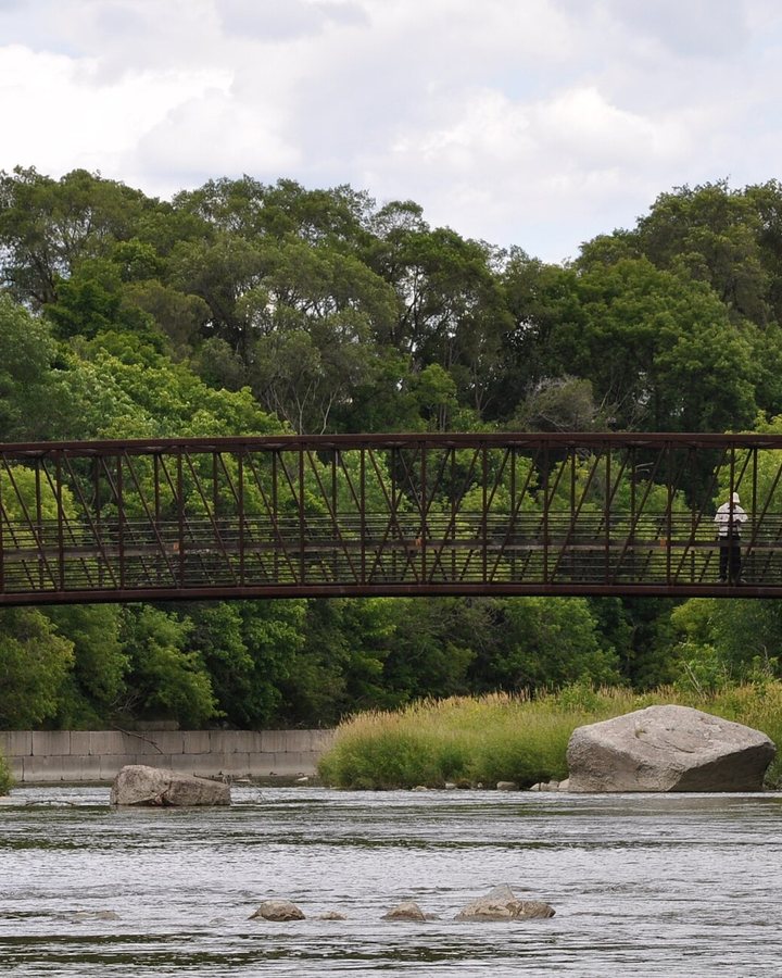
Humber Bay Park, the Butterfly Habitat, the arch bridge over the Humber and the Martin Goodman Trail are the front yard. What the community is still owed is the infrastructure promised alongside all that growth: the Park Lawn GO station, real transit on Lake Shore, and the community space that keeps a dense neighbourhood a neighbourly one. I live here and I chair the board of one of its largest buildings; I know what a promise on paper looks like when it never arrives.
Stonegate–Queensway
Between the Humber and Mimico Creek, with The Queensway as its main street. Post-war houses and walk-up apartments sit side by side here, and the mix is exactly what makes it work: young families, long-time residents and newcomers sharing the same parks and the same bus routes.
South Humber Park and the river valley give the neighbourhood a green edge most of the city would trade a great deal for, and Stonegate's community health centre and plaza are the heart of daily life. The Queensway is changing fast; the task is to make sure the new buildings bring the shops, sidewalks and crossings that make a street safe to walk.
Palace Pier
The towers at the mouth of the Humber, where Ward 3 meets the waterfront trail. The name comes from the Palace Pier dance hall that stood on this shore from 1941 until fire took it in 1963, when the big bands played to crowds who arrived by streetcar. The towers that followed carry the name and the view.
The arch bridge over the Humber links the community to the waterfront trail and the whole shoreline west of the city. Residents here are among the ward's most engaged, and they have earned a councillor who answers the phone, shows up at the meeting, and treats a condominium community with the same seriousness as a street of houses.
Lakeshore Village
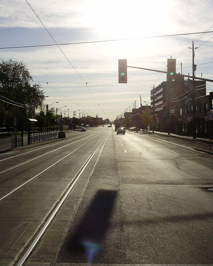
The business strip along Lake Shore Boulevard West: independent shops, restaurants and services, most of them owned by people who live nearby. The 501 streetcar runs the length of it, and a working BIA keeps the planters full and the storefronts lit.
A main street like this is rare in Toronto now, and it survives because the community shops on it. The right support at City Hall, sensible parking, clean sidewalks, permits that don't take a year, and a say in what gets built above the shops, keeps a village main street doing what it has always done: bringing neighbours together.
Norseman Heights
A quiet grid of streets between Islington and Royal York, from Bloor down to the Queensway, that most of the city has never heard of and its residents like that way. The houses are mostly from the 1930s and 1940s — Tudor gables, riverstone fronts, deep porches — on winding, tree-lined streets, many without a sidewalk, with newer custom homes filling in between them.
Islington station and the shops at Bloor and Islington are a short walk, Tom Riley Park runs along Mimico Creek at the neighbourhood's edge, and the Queensway is close for everything else. With towers rising at Bloor–Islington and along the Queensway, the job here is to keep the traffic, the schools and the parks working for the streets in between.
Islington–City Centre West
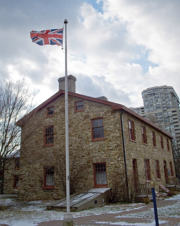
Etobicoke's centre of gravity: Islington and Kipling stations, the office and condo towers at Bloor and Islington, and along Dundas the historic village of Islington with its street of murals. The village took its name in the 1860s from the English birthplace of the innkeeper's wife at Montgomery's Inn, built in 1832 at Dundas and Islington on the old road to London, and Etobicoke's first township council met in that inn in 1850.
The subway reached Islington in 1968 and Kipling in 1980, and the area has been growing up around them ever since; this is where the ward's tallest new buildings are going. Montgomery's Inn is now the Etobicoke community museum, and the Village of Islington keeps the murals on Dundas. The ward's north-west corner needs the same thing the shoreline does: growth that arrives with the transit, schools and services to carry it.